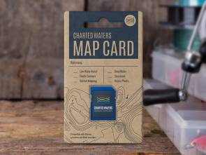
Port Stephens East, Smith’s Lake and Myall River & Lake Map Card


Port Stephens East, Smith’s Lake and Myall River & Lake Map Card
$110.00
Port Stephens estuary and surrounding waters are a haven for fishermen.
-
Map Overview
Description
The Port Stephens East, Smith’s Lake and Myall River & Lake Map card contains map data for viewing on Lowrance, Simrad and B&G sounders.
Port Stephens has depth contours & 3D bottom mapping from Port Stephens Drive on the southern side and South Pindimar on the northern bank all the way to the mouth. The only other note is that with recent dredging the mouth of the Myall River has changed somewhat.This map data includes:
- Depth Contours
- 3D Bottom Mapping
- Markers & Structures
- Access Points
- Shallow Water
- Intermediate Water
- Deep Water
Please see our Sounder compatibility chart for more information.
All maps and charts are for reference purposes only. Not for navigation. Not for navigation. Special thanks to the NSW Roads & Maritime Services and the Office of Environment and Heritage NSW. This map uses OpenStreetMap & Google Earth Image © 2015 Digital Globe.