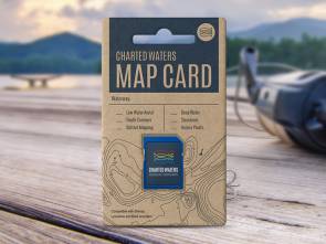
St Georges Basin Map Card
NSW Coast
A+


St Georges Basin Map Card
$88.00
Whenever the basin is mentioned I always conjure up images of fishing the surface for whiting!!!
-
Map Overview
Description
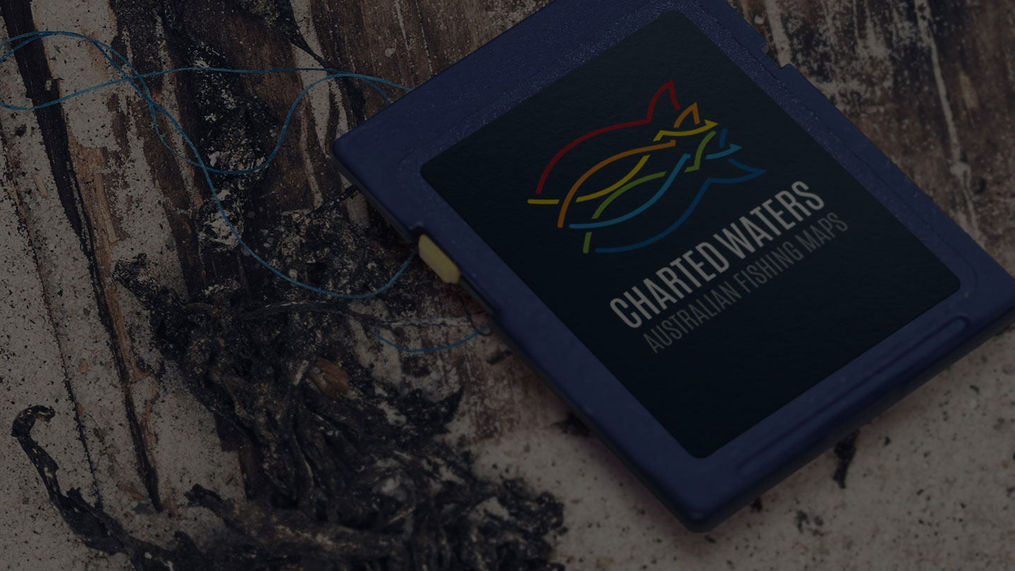
The St Georges Basin Map card contains map data for viewing on Lowrance, Simrad and B&G sounders.
This map data includes:- Depth Contours
- 3D Shaded Relief
- Markers & Structures
- Access Points, Islands
- Shallow Water
- Intermediate Water
- Deep Water
Please see our Sounder compatibility chart for more information.
All maps and charts are for reference purposes only. Not for navigation. Special thanks to the NSW Roads & Maritime Services and the Office of Environment and Heritage NSW. This map uses OpenStreetMap.