Waranga Basin Map Card
$88.00
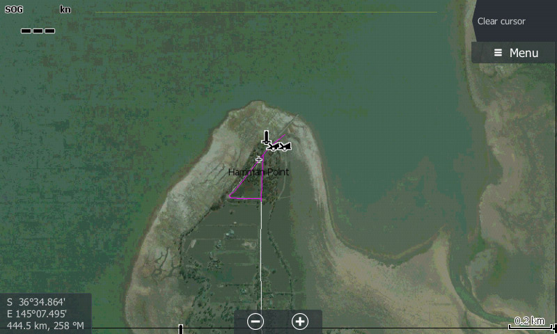
Waranga Basin is the fourth largest inland waterway in Victoria. The lake provides off-river storage holding water diverted by channel from the Goulburn River and holds good populations of Murray cod, trout, golden perch and redfin.
- Category: B Grade.
- Tags: VIC Australia, Waranga Basin.
-
Map Overview
Description
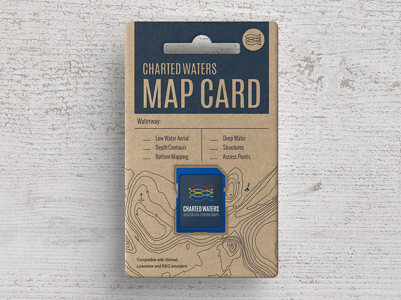
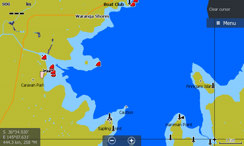
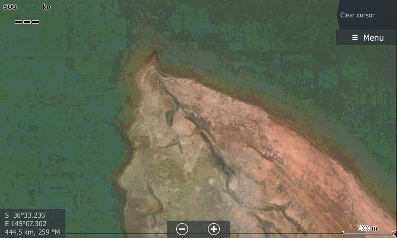
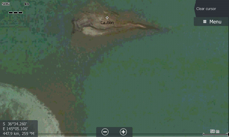
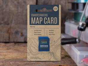
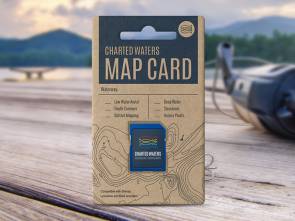
The Waranga Basin Reservoir Map card contains map data for viewing on Lowrance, Simrad and B&G sounders.
This map data includes:- Access Points
- Shallow Water
- Deep Water
Please see our Sounder compatibility chart for more information.
All maps and charts are for reference purposes only. Not for navigation. This map uses OpenStreetMap & Google Earth Image © 2015 Digital Globe.
Please note: Orders placed for Map Cards after 15th October won't be processed until Monday 6th November. Dismiss
