By: Phill Ratcliffe
Precision Casting – never seen before
August 20, 2018Imagine a device that would put a mark on a piece of structure, tell you how far it is and point…
Read MoreScott Mitchell at Copeton
August 8, 2018I came across Charted Waters Fishing Maps while doing research for our recent Copeton Dam trip and would suggest that anyone…
Read More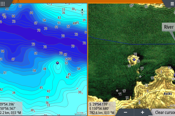
Best of Both Maps
March 22, 2018Latest news just out! Copeton Dam is now fully surveyed.Being able to view dual maps with your Charted Waters maps gives…
Read More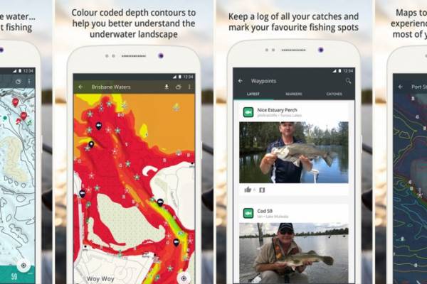
Android update available at Google Play
February 10, 2018Brand new features available for your Android Device (phone/tablet) at Google Play. To take advantage of this update you must be…
Read More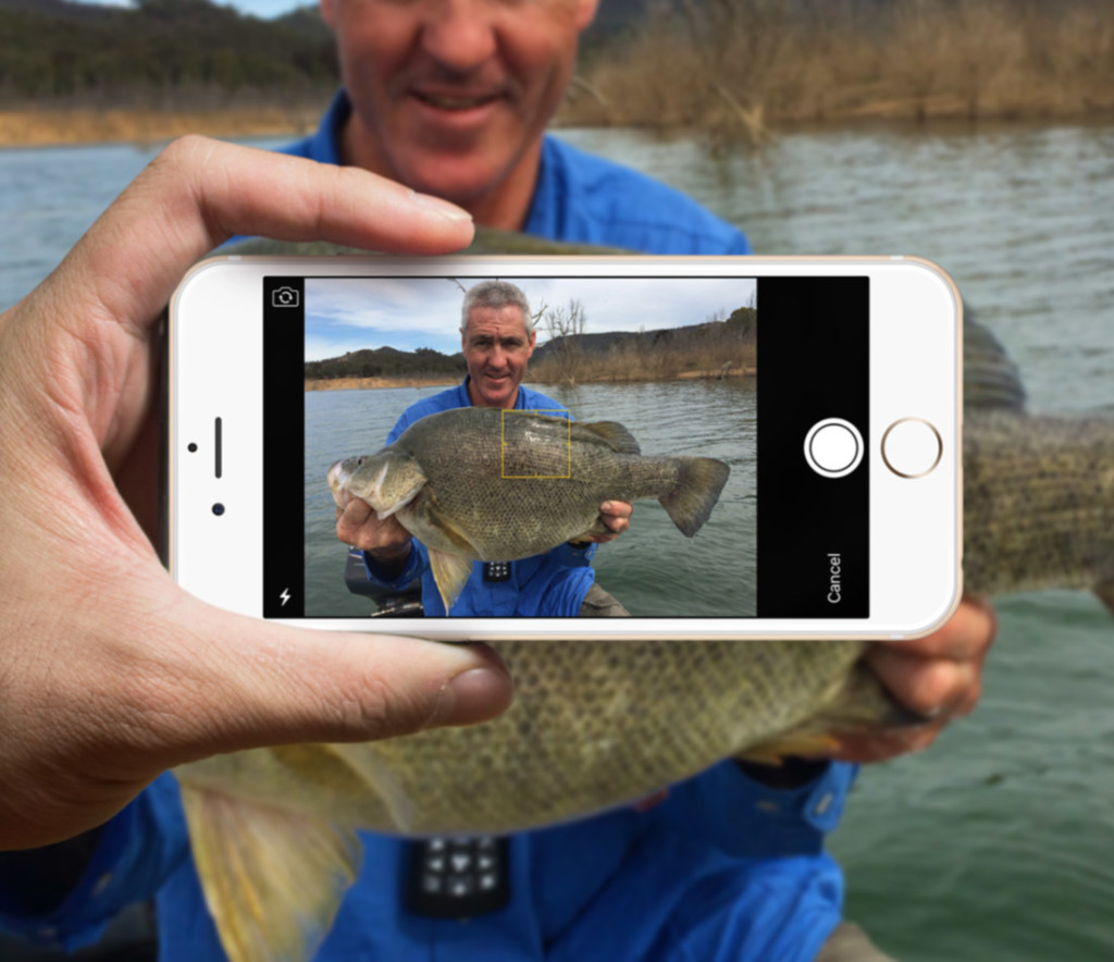
How to use the App
January 4, 2018We all will take the time to learn our sounders, we spend hours on the water fine tuning them and making…
Read More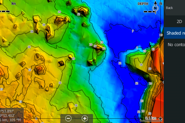
Compare 2D to Bottom Mapping
October 4, 2017Bathymetric bottom mapping drastically increases the visibility of underwater structures such as drop offs & humps, taking plain old contours to…
Read More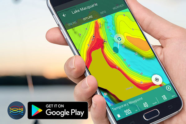
Android update now available
January 24, 2017Charted Waters App Update The Charted Waters App update is available now on Google Play with some new features we think…
Read More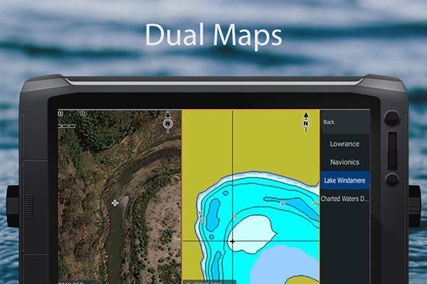
Dual Maps with Insight Genesis
October 18, 2016Did you know that depth data is available for some lakes if you create an account at gofree/insight-genesis and navigate to…
Read More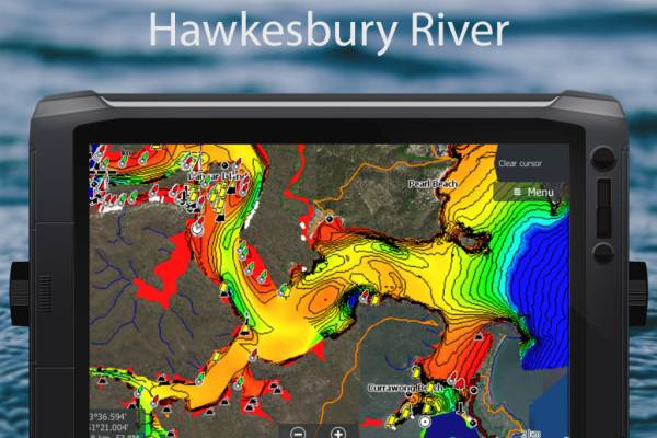
Hawkesbury River
October 11, 2016The Hawkesbury River system is now available on your App and for compatible Simrad, B&G and Lowrance Sounders. With a 150km…
Read More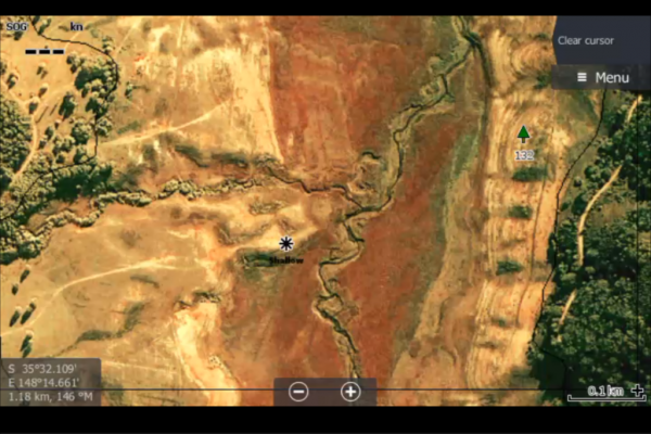
Chart Upgrades – Card Recall
October 8, 2016One of the hardest parts of our work is to test the charts we prepare and the only way to do…
Read More